Auction closes on July 4th at 7:00 PM!
Waterfalls
Explore Over A Dozen Waterfalls
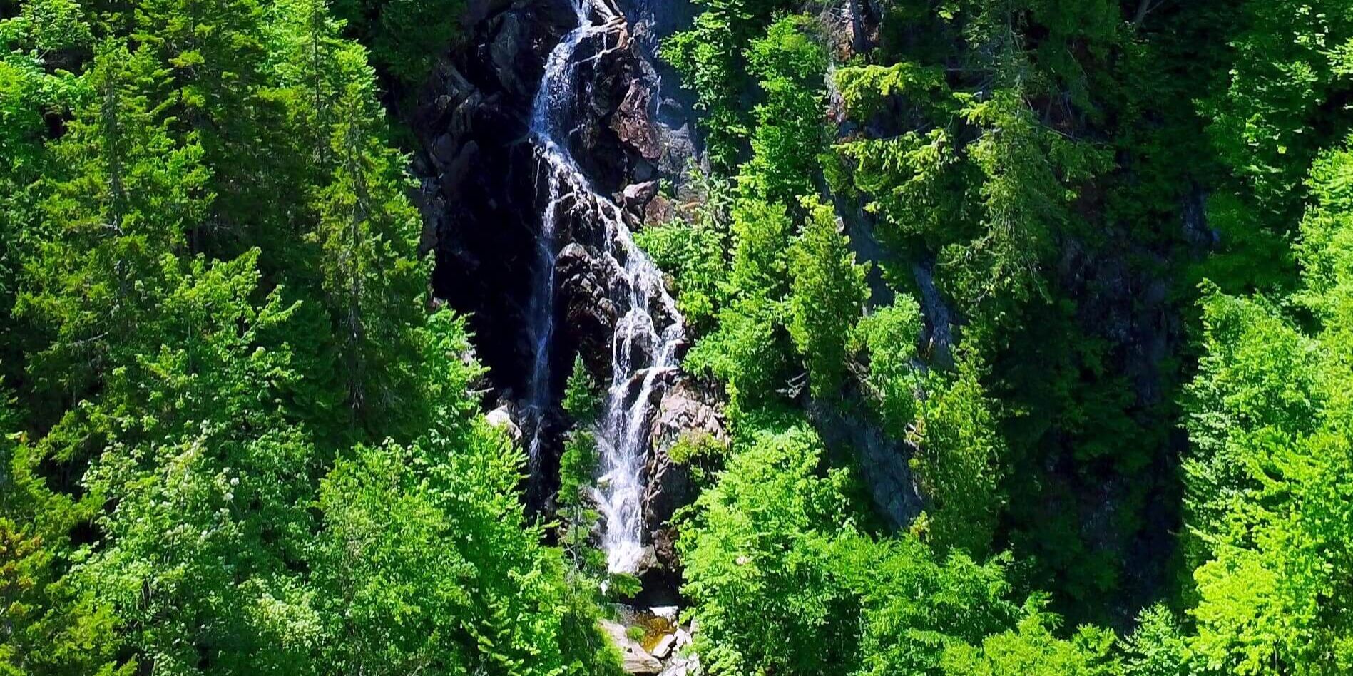
Adventure-seekers won't need to look any further than the stunning waterfalls of the Rangeley Lakes Region and surrounding areas. Choose from waterfalls that range from easy to challenging hikes and are less than an hour away from your home base in Rangeley.
Angel Falls
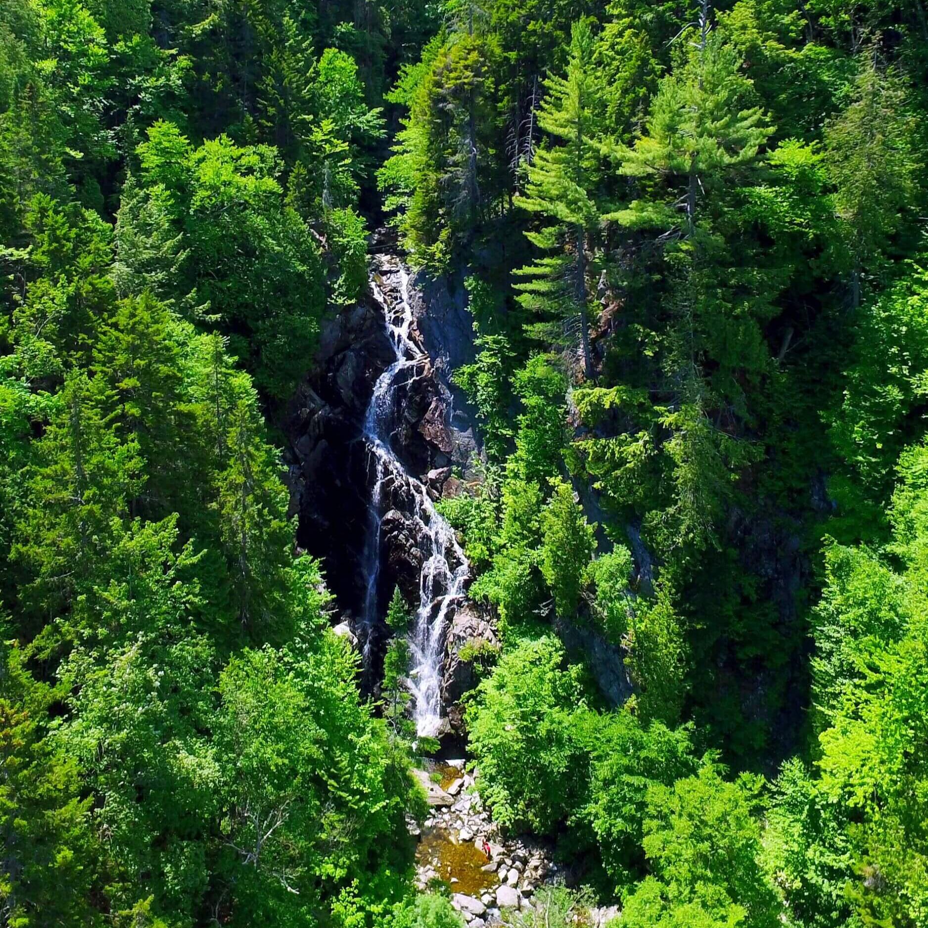
A 1-mile hike takes you deep into the heart of the White Mountains, leading you to one of Maine's most impressive waterfalls. Angel Falls, a 90-foot beauty, is a masterpiece surrounded by soaring cliffs. It is truly remarkable how the water gracefully kisses the rocks during its descent. With cliff walls up to 115 feet, Angel Falls offers a wonderful and unique view. Watch a video of Angel Falls by Rangeley's own Kyle Haley.
Directions: Angel Falls - Maine Trail Finder
Big Falls
Your next thrill awaits just seven miles upstream from Little Falls. Big Falls, an undiscovered treasure in Maine, serves as the first barrier to upstream fish migration. But that's not all – this little-known gem boasts fantastic swimming holes, offering the perfect escape. Take your pick from the multiple nearby Cupstuptic Campground campsites for a memorable adventure. Watch a video of Big Falls by The Maine Spotlight.
Directions: Big Falls - Google Maps
Cascade Stream
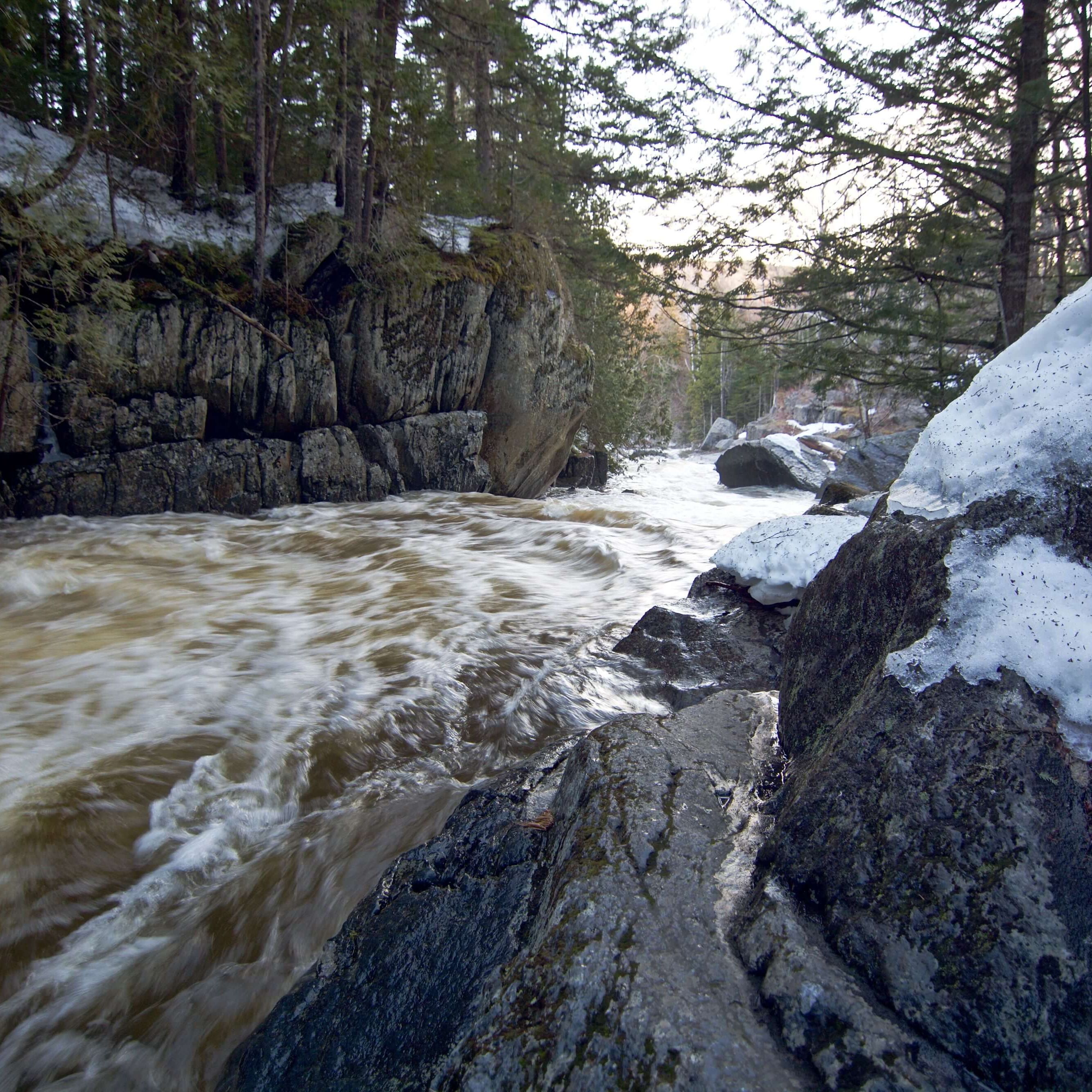
A short, exciting hike leads into a 90-foot-deep gorge, home to waterfalls and chutes. A popular summer cooling spot, the 50-acre Cascade Stream Gorge Conservation Area is recognized for its unique natural and geologic features. You'll encounter a variety of wildflowers and interesting plants; bring a wildflower guide to enhance your experience. Sturdy, non-slip footwear is essential, and small children should be kept in close sight.
Directions: Cascade Stream Gorge Trail - Maine Trail Finder
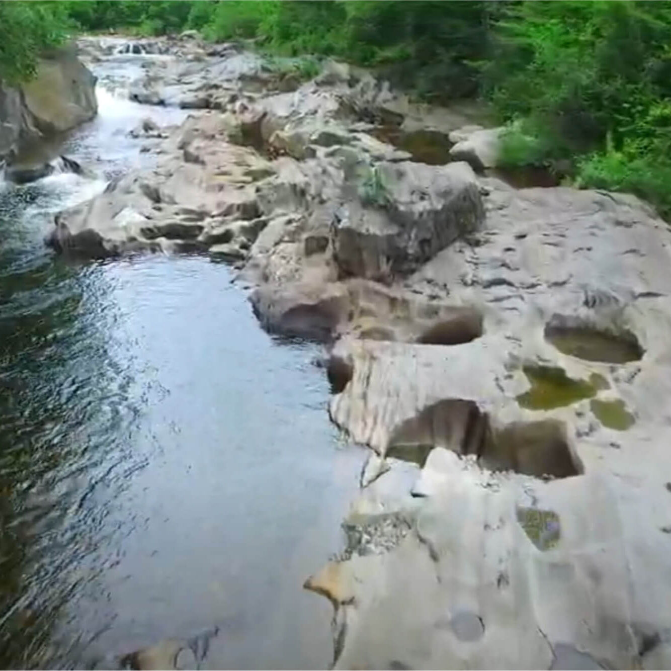
Coos Canyon
Ready to experience waterfalls with minimal effort? Coos Canyon, in, Byron, Me is your spot. Located along Route 17 scenic highway, these falls are a sight to behold. Enjoy a refreshing dip in the water during the summer or plan a delightful picnic. Winter's charm is equally enchanting, offering a magical view after a fresh snowfall. Watch Chasing the Sun: Coos Canyon a short video by Visit Maine.
Directions: Coos Canyon - Google Maps
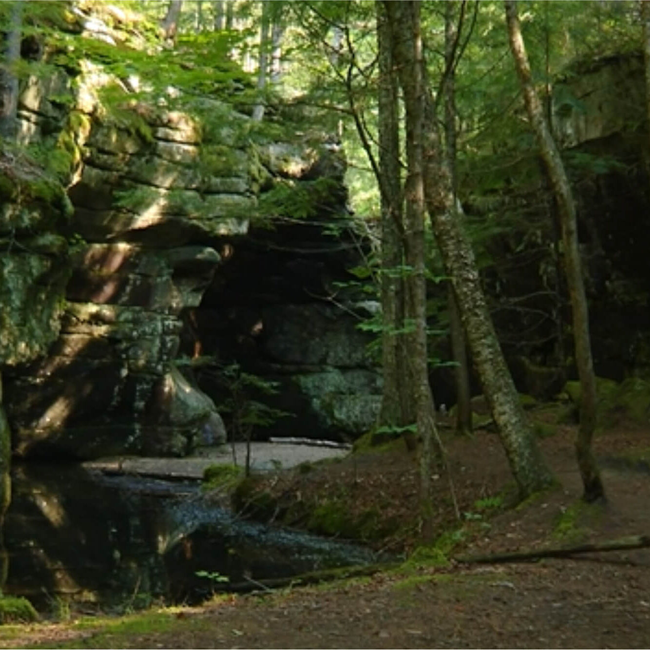
Devils Den
Silver Ripple Cascade, also affectionately known as Devil's Den, is a well-kept secret – a hidden gem waiting to be discovered. This enchanting cascade features a series of horsetails and small plunges that gracefully descend a remarkable 100 feet through a captivating gorge. At the end of this natural masterpiece, you'll find a sprawling pool, perfect for a leisurely swim when the water currents are gentle. Check out Devil's Den Cave while you are there!
The gorge maintains a consistent 10-to-12-foot height throughout its length, creating a mesmerizing, channel-like appearance.
Click here for a video by News Center Maine.
Directions: Devils Den Trail
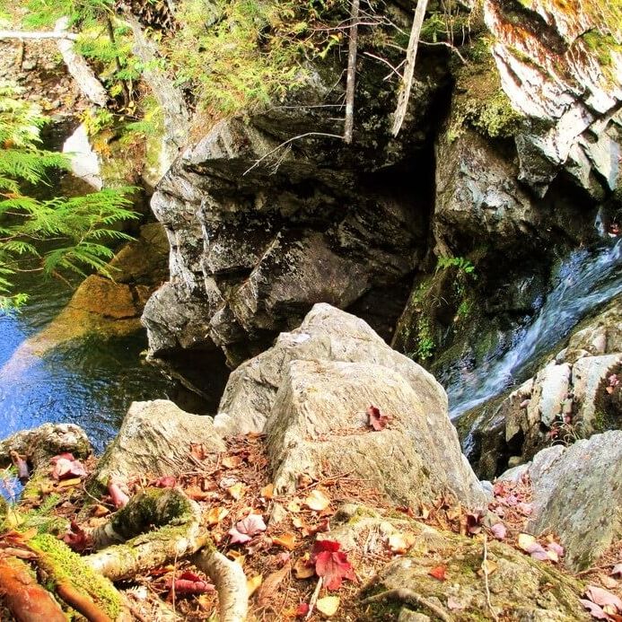
Dunn Falls
Scenic day hike along the West Branch of the Ellis River through conserved wilderness, passing pools, cascades and the spectacular Upper and Lower Dunn Falls. Return along the Appalachian Trail for an exciting loop hike.
Directions: Dunn Falls Trail - Maine Trail Finder

Little Falls
Little Falls, is a hidden gem nestled on the Cupsuptic River. This charming cascade is your gateway to aquatic adventure. And guess what? It's easy to access. Expect to find great swimming holes and nearby campsites offered by Cupsuptic Campground. Whether it's a romantic date or a day trip, you're in for a treat. An ATV makes for an effortless journey, but a car might require 4-wheel drive.
Directions: Take ME-16 W towards NH from Oquossoc. Go 4.8 miles and turn right onto Morton Cutoff. After 1.3 miles, take a slight left onto Morton Cutoff and go 0.5 miles. Trail head will be on the left. Little Falls - Google Maps
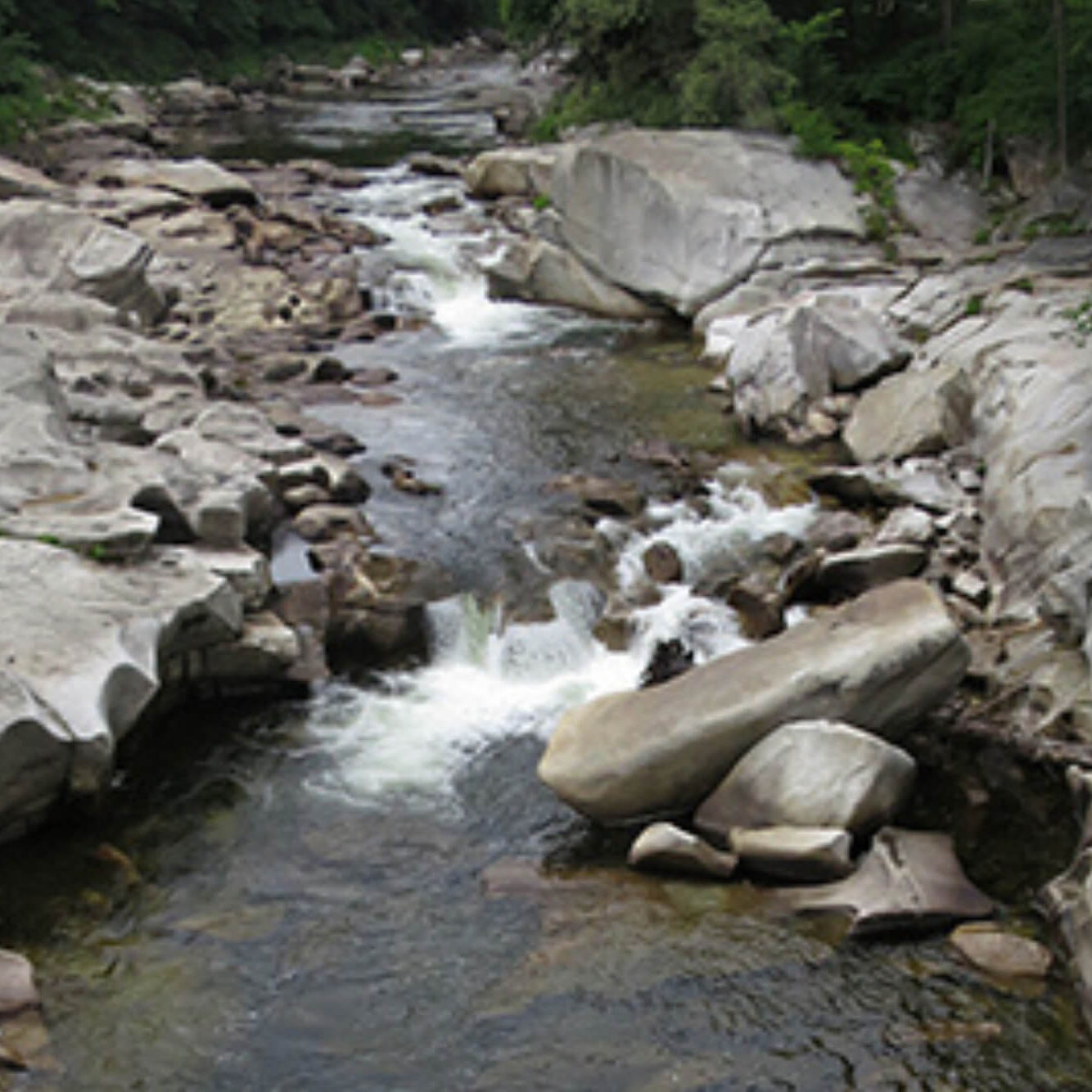
Phillips Falls
Phillips Falls is a natural marvel easily visible from the highway or the river's edge. While swimming is discouraged due to strong currents, the area offers scenic delights for all. Numerous boulders and flat rocks provide perfect perches for taking in the picturesque scenery. Located close to Smalls Falls, Phillips Falls is an ideal spot for a riverside picnic if you're just passing through.
Directions: Phillips Falls - Google Maps
Don't forget to explore the nearby wonder, Daggett Rock, one of Maine's largest glacial erratics. Take a leisurely .6-mile hike to Daggett Rock. You can even wander around this colossal erratic, an enchanting addition to your Rangeley adventure. Directions: Daggett Rock Trail - Maine Trail Finder

Poplar Stream Falls
In Carrabassett Valley, near the Sugarloaf Mountain Resort, lies Poplar Stream Falls. Although a bit of a hike is involved, these falls promise a gratifying experience. You'll encounter two distinctive falls – a 24-foot horsetail and a 51-foot horsetail – each offering unique visuals and natural beauty. Thanks to the construction of the Poplar Hut and its trail network, these falls are now more accessible than ever. So, whether you're hiking in summer or using cross-country skis in winter, Poplar Stream Falls is a must-see.
Directions: Maine Hut Trail - Poplar Hut - Maine Trail Finder
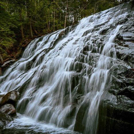
Reed Brook Falls Trail (Jericho Steps)
Lace up your hiking boots and venture onto the 1.1-mile Jericho Steps trail, a tranquil journey boasting easy terrain and a 160-foot elevation gain.
Hike through enchanting woods adorned with surprises like painted rocks and quaint bridges.
As you approach, a breathtaking display resembling a natural curtain of water. Venture among the rocks for a unique viewpoint, witnessing Reed Brook Falls, a truly distinctive gem in Maine.
Directions: Reed Brook Falls Trail (Jericho Steps), near Carrabassett Valley – Maine by Foot
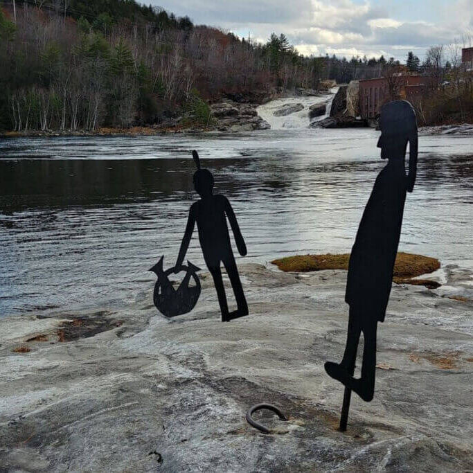
Rumford Falls
The gateway to the Rangeley Lakes Scenic Byway, Rumford Falls, formerly known as Pennacook Falls or New Pennacook Falls, is a captivating series of drops along the Androscoggin River. Though dams have altered the once continuous cascade, the falls remain a spectacle, especially during high water.
Rumford Falls was a haven for Indians who hunted and fished in its waters. The falls, originally a source of power for sawmills and gristmills, found a new purpose in 1882 when industrialist Hugh J. Chisholm saw its potential for paper manufacturing. The first paper mill transformed Rumford's riverfront and economy to this day.
Directions: Maine Trail Finder - Rumford Falls
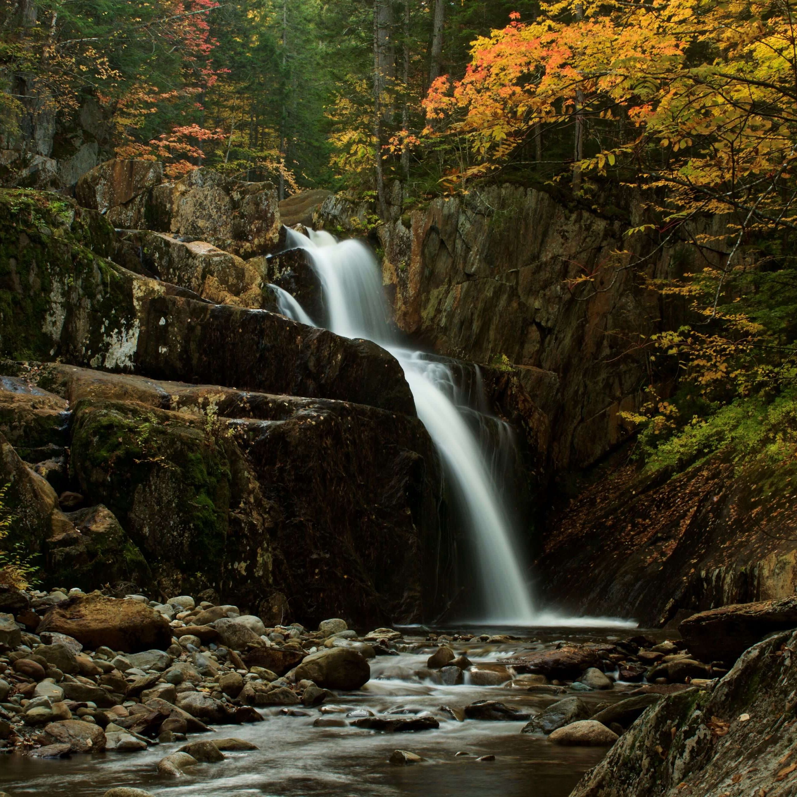
Smalls Falls
South of Rangeley, the Smalls Falls Rest Area, right on Route 4, beckons travelers looking for more than just a pit stop. Brace yourself for a breathtaking waterfall experience with a colorful gorge and inviting swimming holes. As you explore further, discover multiple cascades, each with its unique charm. Some offer safe spots for wading. Please don't attempt dangerous jumps. The final touch? A scenic gorge with a picturesque setting for picnics and relaxation.
Directions: Smalls Falls: Map - Maine | AllTrails
Shadagee Falls and Sarampus Falls
The adventure continues with Shadagee Falls and Sarampus Falls. Each waterfall has its unique appeal, from the historical background of Benedict Arnold's Camp Disaster. Camp Disaster is a historical site related to Benedict Arnold's expedition to Quebec located in this vicinity. The expedition was part of a two-pronged invasion of the British Province of Quebec. The hurricane that hit the expedition caused much calamity. Cargoes were lost in the high water, and the men suffered greatly; hence they named their campsite here "Camp Disaster." Whether you're walking to the edge of the brook or catching a glimpse from the distance, the thrill is undeniable.
Shadagee Falls Directions: Shadgee Falls Google Maps
Sarampus Falls Directions: Sarampus Falls, Google Maps

West Mountain Falls
Discover the enchanting West Mountain Falls where a picturesque .3 mile riverside hike awaits. Immerse yourself in a soothing adventure complete with opportunities for a refreshing dip in several natural swimming holes along the South branch of the Carrabassett River.
Embark on a journey into this wooded wonderland, where you'll explore about half a mile of scenic trails running alongside the brisk river waters. The main trail offers various short paths branching out. Follow one to the riverbank, where numerous spots beckon you to explore, picnic, sightsee, swim, or wade.
Directions: To get to the trailhead, West Mountain Falls Hiking Trailhead

